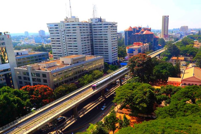
The Bangalore Metro Rail Corporation Limited (BMRCL) has taken a significant step forward in the Phase III expansion of the Namma Metro project by initiating a geotechnical survey at Magadi Road. This marks the beginning of a critical phase aimed at expanding the city’s public transportation network.
The geotechnical survey has commenced in KHB Colony, Magadi Road, where the Orange Line of Namma Metro is planned. Phase III will introduce two new elevated metro lines designed to ease traffic congestion and reduce commuting times for residents.
The first line, covering 32.5 kilometres, will connect J P Nagar 4th Phase to Kempapura, running along the western leg of the Outer Ring Road. It will include 21 stations along the route. The second line will span 12.5 kilometres from Hosahalli to Kadabagere on Magadi Road, featuring nine stations. Both lines will be elevated, improving accessibility and mobility across key parts of the city.
The stations in phase III have been proposed at Kempapura, Hebbal, Nagashetty Halli, BEL Circle, Muthyalanagar, Peenya, Kanteerava Nagar, Freedom Fighter’s Colony, Chowdeshwari Nagar, Sumanahalli Cross, BDA Complex Nagarbhavi, Papireddy Palya, Vinayaka Layout, Nagarbhavi Circle, Mysuru Road, Dwaraka Nagar, Hosakerehalli, Kamakya Junction, Kadirenahalli, JP Nagar, JP Nagar 5th Phase and JP Nagar 4th Phase
Earlier this year, the Phase III expansion received approval from both the Karnataka government and the Union cabinet. The project, estimated to cost Rs 15,611 crore, will see the state government funding 80-85 per cent of the cost, with the Union government covering the remaining portion.
The geotechnical survey, valued at Rs 6 crore, aims to analyse soil stability and rock formations along the proposed metro routes, with findings expected in five months. “The survey will help us understand the geological conditions required to design the foundations for metro pillars, ensuring the structural safety of the system,” a senior BMRCL official stated, reports The Hindu.
In parallel with the survey, BMRCL has also begun the land acquisition process for the 44.65-kilometre Phase III project. A preliminary notification has been issued to acquire 299 properties along the Outer Ring Road stretch, with the Karnataka Industrial Areas Development Board (KIADB) overseeing the acquisition.
All the Phase III stations are proposed with dedicated bus bays, pick up and drop off bays, pedestrian paths, IPT/auto rickshaw stands. BMTC is already running feeder buses to the operational metro stations and the same will be extended to the Phase III stations also. Parking facilities have been provided at 11 important stations.
The existing stations of Phase I & Phase II are integrated with proposed stations of Phase III. Direct connectivity through FoBs/skywalks to two railway stations (Lottegollahali and Hebbal). At Phase III metro stations, provision for bikes and cycles sharing facility will also be provided.
Phase III will integrate key areas of the city which includes Peenya Industrial Area, IT industries on Bannerghatta Road and Outer Ring Road, textile and engineering items manufacturing units on Tumkuru Road and ORR, Bharat Electronics Limited, major educational institutions like PES University, Ambedkar College, Polytechnic College, KLE College, Dayanandsagar University, ITI etc.
Phase III corridors also provide connectivity to the southern part of the city, Outer Ring Road West, Magadi road and various neighbourhoods, enhancing overall connectivity in the city. Improved last mile connectivity to commercial centres, industrial hubs, educational institutions, and healthcare facilities will facilitate better access for residents.
Once completed, Phase III will extend Bengaluru’s metro network to 220.2 kilometres, further enhancing the city’s urban mobility infrastructure.


